Monday, April 1, 2013
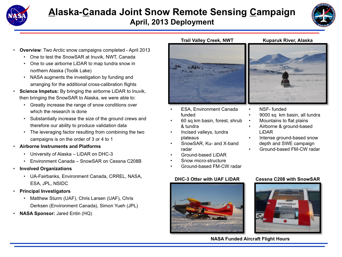
- Overview: Two Arctic snow campaigns completed - April 2013
- NASA augments the investigation by funding and arranging for the additional cross-calibration flights
- One to use airborne LiDAR to map tundra snow in northern Alaska (Toolik Lake)
- One to test the SnowSAR at Inuvik, NWT, Canada - Science Impetus: By bringing the airborne LiDAR to Inuvik, then bringing the SnowSAR to Alaska, we were able to:
- Greatly increase the range of snow conditions over which the research is done
- Substantially increase the size of the ground crews and therefore our ability to produce validation data
- The leveraging factor resulting from combining the two campaigns is on the order of 3 or 4 to 1 - Airborne Instruments and Platforms
- University of Alaska – LiDAR on DHC-3
- Environment Canada – SnowSAR on Cessna C208B - Involved Organizations
- UA-Fairbanks, Environment Canada, CRREL, NASA, ESA, JPL, NSIDC - Principal Investigators
- Matthew Sturm (UAF), Chris Larsen (UAF), Chris Derksen (Environment Canada), Simon Yueh (JPL) - NASA Sponsor: Jared Entin (HQ)