You are here

ASO

ASO – Airborne Snow Observatory

On 5 October, ASO collected lidar and imaging spectrometry data for the Merced River Basin to provide an improved snow free baseline dataset for the California Department of Water Resources.  On 7 October, ASO collected lidar and imaging spectrometery data for the Walker Fire are in the Plumas National Forest in Northern California.  At 50,000 acres, the Walker Fire was the largest wildfire in California in 2019.  ASO collected pre-fire data in the same area in fall 2019.  All of these datasets are currently being processed by the ASO team.

ASO – Airborne Snow Observatory

ASO completed the last snow surveys of the 2019 California snow year.  The ASO team surveyed the Kings River basin on 27-29 July and the San Joaquin River basin on 1-2 August.  The data will be processed with Level 4 snow products this month. 

On 30 July, the ASO team completed an airborne survey of the Sagehen experimental forest in Northern California.  This task is led by Dr. Jonathan Greenberg of University of Nevada Reno, under the NASA Carbon Monitoring System program.

ASO – Airborne Snow Observatory

ASO performed snow surveys of the Kings River Basin on 27-29 August.  We expect to complete processing and delivery of the Level 4 snow depth and snow water equivalent products this week.  This late season survey marks the last snow survey of the Kings River Basin in 2019 and will inform water managers how much water is carried over into the next water year.

ASO – Airborne Snow Observatory

ASO completed surveys of the Merced, Lakes, San Joaquin, Kaweah, and Tuolumne river basins 3-7 July.  Level 4 snow data products from those surveys have been successfully completed and delivered for Merced, Lakes, and San Joaquin.  In addition, ASO completed high resolution surveys of the Mother Lode mining sites in the western Sierra Nevada in support of a NASA HQ task.

ASO – Airborne Snow Observatory

ASO began its June campaign of airborne snow surveys in partnership with California Department of Water Resources, completing surveys of Merced River basin, Kaweah River Basin, and portions of the San Joaquin and Kings River Basins.   Level 4 snow data products for Merced River Basin were processed and delivered within 48 hours. 


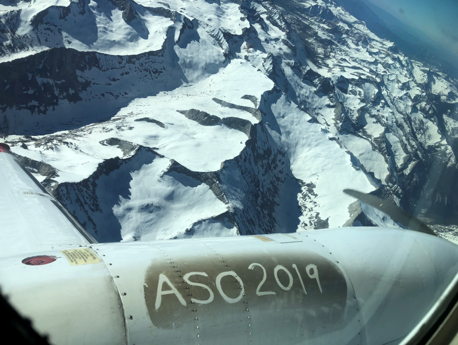
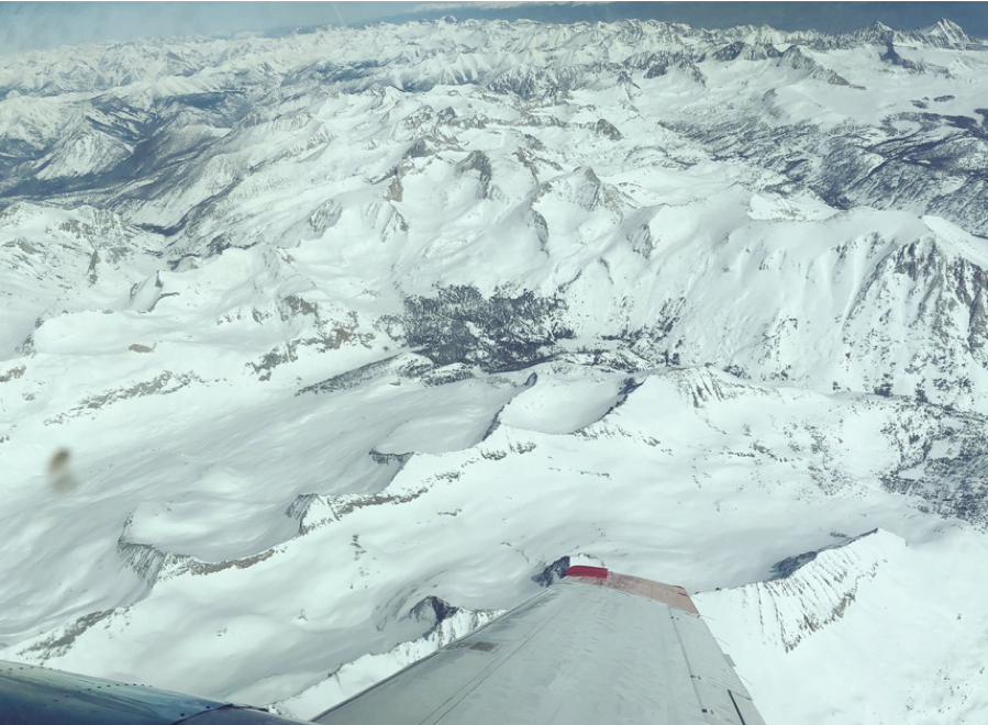
ASO flies over the San Joaquin basin on 9 June, 2019.

ASO – Airborne Snow Observatory

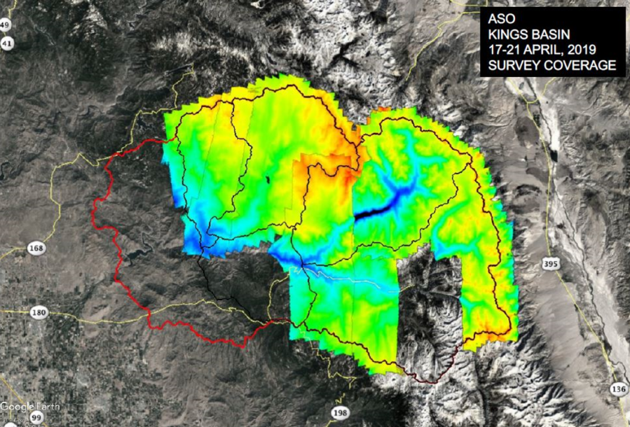
ASO completed mid-April snow surveys of the Tuolumne, Kings, Merced, and Kaweah river basins 17-21 April.  Snow depth and snow water equivalent Level 4 data products were delivered to end users on 20 April.  These surveys were performed in partnership with the California Department of Water Resources.


Map of ASO lidar coverage of the Kings River basins during 17-21 April.

Pages

Subscribe to RSS - ASO