
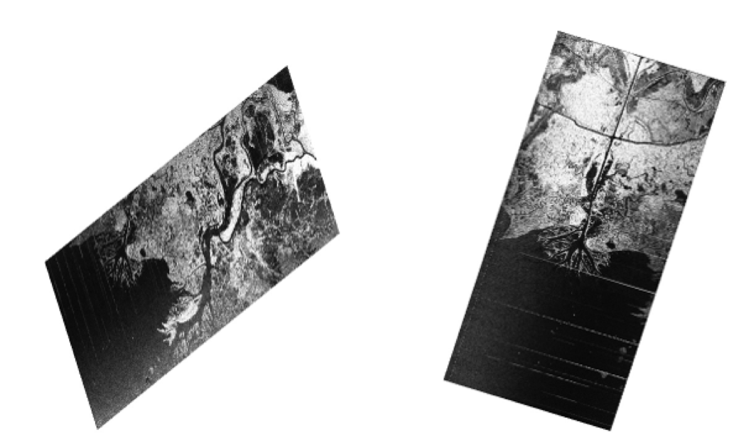
Delta-X has successfully been running as planned with it first set of flights over the Mississippi River Delta floodplain by Delta-X triplets: UAVSAR, AirSWOT and AVIRIS-NG on Saturday, 27 March (See quick-look images from UAVSAR and AVIRIS-NG).
As of 6 April, AirSWOT and UAVSAR flew simultaneously (~5 hours) 3 times over the Atchafalaya Basin and twice over the Terrebonne Basin. The basins are located in the land growing and losing parts of the floodplain respectively. AVIRIS-NG flew simultaneously to the radars and did a few more solo flights to extend coverage of wetlands. During each of their ~5 hours of flight, the UAVSAR continuously repeats 2 flight lines 8 times and the AirSWOT system repeats 7 flight lines 3 times. The repeated imaging of the same flight lines was designed to capture the propagation of the tidal wave, through InSAR, across the floodplain. While the radar provide measurements to determine the flow of water, AVIRIS-NG, an imaging spectrometer, tells us what is in that water. The combined airborne and field measurements will be used to calibrate a hydrodynamic model used to forecast the vulnerable and resilient part of the Mississippi River Delta (more info here: https://deltax.jpl.nasa.gov/ ).
10 full days of Acoustic Doppler Current Profiler measurements
along transects crisscrossing river channels of the regions. They
are used to estimate bathymetry and flow of water in the rivers