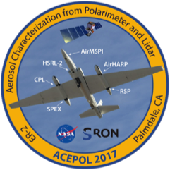
AirMSPI – Airborne Multi-angle SpectroPolarimeter Imager
AirMSPI just completed deployment in the FIREX-AQ/ER2 field campaign flying on the NASA ER-2 high-altitude research aircraft. A total of 12 flights occurred between 1 August and 21 August over fire and smoke targets in Oregon, Washington, Idaho, Montana, California, Utah, and Arizona, as well as the Railroad Valley calibration site in Nevada. A number of these flights were coincident with the NASA DC-8 aircraft and a NOAA Twin Otter aircraft that flew sampling missions into the smoke.

