Thursday, February 9, 2012
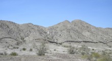
Geologists have a new tool to study how earthquakes change the landscape, and it's giving them insight into how earthquake faults behave. In the Feb. 10 issue of the journal Science, a team of scientists from the United States, Mexico and China, including geophysicist Eric Fielding of NASA's Jet Propulsion Laboratory, Pasadena, Calif., reports the most comprehensive before-and-after picture yet of an earthquake zone, using data from the magnitude 7.2 event that struck near Mexicali, northern Mexico in April 2010.

