
On 7 April, UAVSAR and AirSWOT imaged Terrebonne West with the Louisiana State University (LSU) field teams in the Fourleague Bay area at intensive study sites 322 and 399. UAVSAR collected 16 lines (8 times the same 2 flight lines). AirSWOT collected 22 lines. Conditions were too cloudy for AVIRIS-NG to collect data. The LSU Island team measured flow velocity at site 399 at 10:00 AM and 3:30 PM. The LSU ADCP team took the 10 planned ADCP transects around site 322 then sites 399.
On 11 April, the BU Water Quality team traveled 66 miles on the water all the way across Fourleague Bay, collecting water samples and radiometry along the way. The ADCP team finished all planned transects in the afternoon. These transects successfully concluded all planned ADCP measurements (i.e. water flow in channels).
On 12 April, AirSWOT and UAVSAR performed their first of East Terrebonne flights to capture the receding tide. UAVSAR collected 16 lines over 6.1 hours. AirSWOT also had a productive flight collecting 21 lines. The Boston University Water Quality team collected a few water station measurements across Lake Decade. In addition, Delta-X held a press conference with short presentations by Hank Margolis, Cathleen Jones, Robert Twilley and Marc Simard, followed by Q&A. There was a second one-on-one AP interview with Marc Simard in the afternoon.
AVIRIS-NG departed Louisiana on 11 April after successfully completing its part of the Delta-X campaign, collecting all vegetation lines across the Atchafalaya and Terrebone basins and several data collections for water quality across a variety of tidal states.
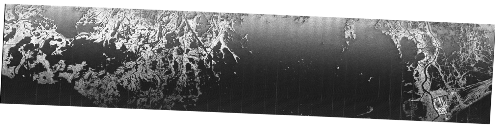
UAVSAR quicklook image of Terrebone East produced
by UAVSAR operator Tim Miller after the 12 April flight