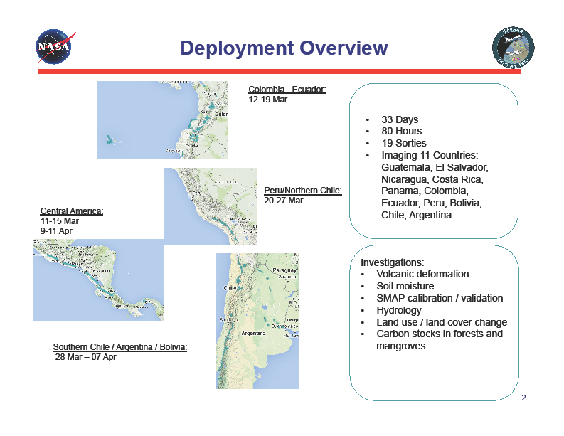
We are embarking on the month-long Central/South America deployment on Wednesday, 3/11/15. We will have 21 flights (19 science sorties and 2 transit flights) over 33 days imaging 11 countries where 90% of the flight hours are associated with volcano studies and the remaining hours include wetlands, ecology, archaeology, and cross-calibration with the Argentinian airborne synthetic aperture radar system. Attached is an overview of the deployment schedule and locations. We received flight clearance for Ecuador, thanks to the diligent work by NASA HQ and all parties involved in the deployment planning. Some of the volcanoes we are studying are quite active; they include Tungurahua (Ecuador), Villarica and Laguna del Maule (Chile/Argentina), Fuego (Guatemala), and Ubinas (Peru). Dr. Paul Lundgren and his collaborators both in the United States and the host countries are quite excited about the data we will be collecting over these volcanoes, which will contribute to their modeling efforts towards the understanding of volcano activities.

