You are here

QUAKES

QUAKES

The QUAKES-I June 2021 imagery is being evaluated with the Linear Bundle Adjustment (LBA) algorithm. This algorithm is a linearized solution for Bundle Adjustment designed for efficient implementation. The steps of the algorithm:

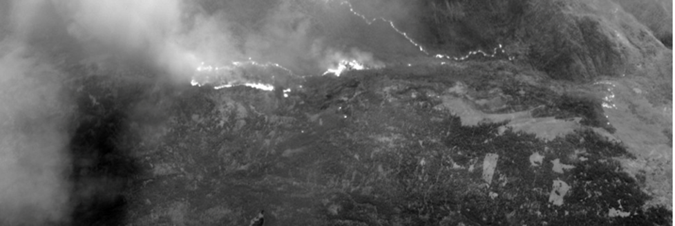
  1. Generate a mosaic image using the QUAKES-I geometry.
  2. Find features in the mosaic and locate the features in subsequent frames.
  3. Perform LBA on the features to construct a pose graph for each mosaic.
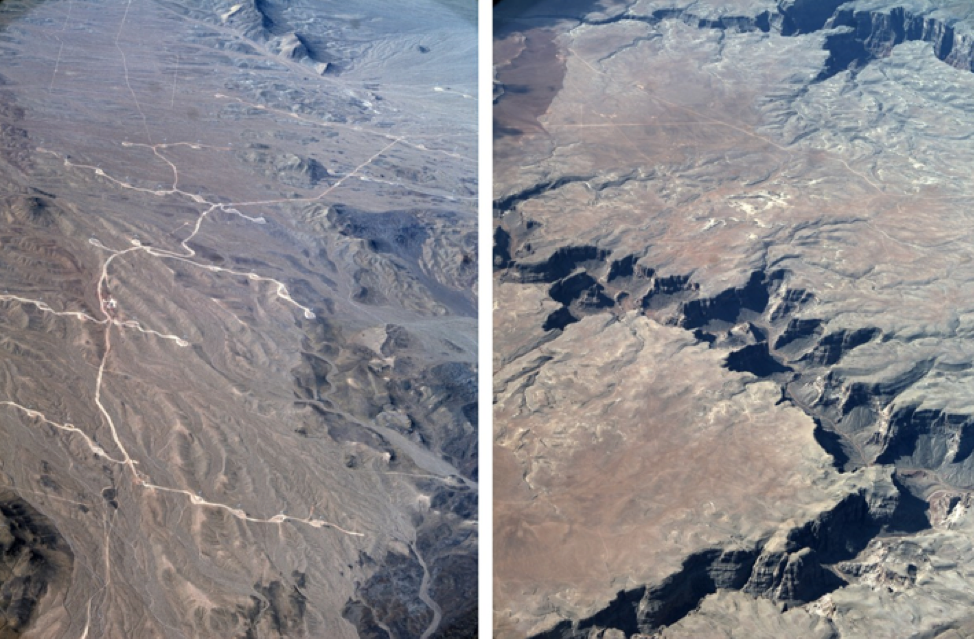
  4. Use forward and aft mosaics of the same region to generate terrain (3D terrain map).


QUAKES

The JPL QUAKES team collected SWIR imagery of the Caldor fire in California in a flight with UAVSAR in the ASFC Gulf Stream.


Panoramic view of a portion of the Caldor flight (roughly 30 seconds).
The SWIR camera is able to view through much of the smoke so that
hot spots can be found (a comparable visible image is entirely obscured by smoke).

Quakes-1

The JPL QUAKES team is conducting the first flight test of the QUAKES-I instrument over Southern California. The flight plan covers the highest and lowest points in California, earthquake faults in the state’s interior and some coastal zones. The visible imagery collected by the instrument will be processed into a geo-rectified 3D terrain map and point cloud for use in understanding plate tectonics and other surface phenomenon. 

QUAKES

The JPL QUAKES SAR Fusion imagery collected during transit from Houston to Southern California. The SAR Fusion suite of sensors includes 2 SWIR and 2 visible Bayer imagers that are coincident with the SAR sensor.


Images collected over high relief areas. The team is getting the
data off the plane this week and will process them into 3D products

Subscribe to RSS - QUAKES