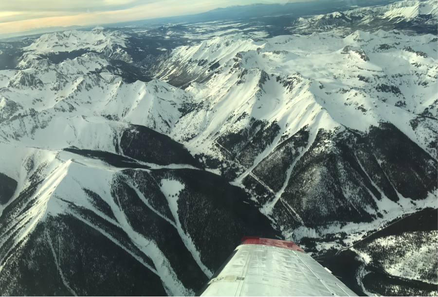
ASO performed its first successful surveys of the Grand Mesa and Senator Beck basins last week as part of the SnowEx campaign in Colorado.
ASO flights over the Grand Mesa and Senator Beck basins

ASO performed its first successful surveys of the Grand Mesa and Senator Beck basins last week as part of the SnowEx campaign in Colorado.
ASO flights over the Grand Mesa and Senator Beck basins
Successful surveys in California were completed last week in the San Joaquin, Tuolumne, Rush Creek and Lakes Basins. Processing is well underway for each of those and data deliveries are beginning.
The Classic Airborne Visible and Infrared Imaging Spectrometer (AVIRIS-C) continues to collect data as part of the HyspIRI Airborne Campaign in Hawaii. There have been four flights over the past week, both over the volcanos and coral reefs. Flights continue this week, and there will be a media day on 8 Feb at Marine Corps Base Hawaii to give an overview of the campaign.
The L-band radar completed its first two flights of the new year aboard the JSC G-III aircraft. Imaging of the Sacramento Delta levee area was performed on the first flight and the SnowEx study sites in Colorado on the second flight. SnowEx is a multi-year airborne snow campaign designed to collect multi-sensor aircraft data and ground truth measurements to enable algorithm development and inform the design of a future satellite mission. The three-week campaign began on February 6 and in all, 8 airborne instruments will acquire data over Grand Mesa and Senator Beck Basin, including JPL’s UAVSAR, GLISTIN-A, and ASO (Airborne Snow Observatory).
The Classic Airborne Visible and Infrared Imaging Spectrometer (AVIRIS-C) is currently with the NASA Armstrong ER-2 to Marine Corps Base Hawaii in Oahu. AVIRIS-C is collecting data for the HyspIRI Tropics Preparatory Airborne Campaign, and is collecting data over Volcanos and Coral Reefs. The last week has been very successful, and there was a coordinated under-flight of ASTER on Terra for day and night flights on January 27 and 28
ASO started its first flights of the 2017 California snow season on January 28-30. This campaign covers the San Joaquin, Tuolumne, Rush, Lakes, and Lee Vining basins in the Sierra Nevada. These flights will provide insight to the recent record snowfall to several water operators in the state of California.
The next generation Airborne Visible and Infrared Imaging Spectrometer completed the Dynamic Aviation King Air Campaign. The campaign was successful with flights for the California Methane Survey, California Delta Survey, Coastal Louisiana RTD Effort, Forest Canopy Study in the upper Mid-West, and AVIRIS-NG Calibration and Validation flights.
The CORAL Australian Great Barrier Reef (GBR) Portable Remote Imaging SpectroMeter (PRISM) flight data collection campaign is now complete. All areas were covered, albeit some with weather conditions better than others. The Tempus Gulfstream-IV/PRISM team flew ~56 science hours, imaged over 100 flight lines, and performed a dozen ground health checks during the past six weeks in Australia. By rough calculations, we imaged over 30,000 square kilometers of reefs, and open ocean, at ~8 meter/pixel resolution. This results in over 500,000,000 oversampled pixels, each of which has 240 spectral bands to evaluate.
The ASO team is deployed for the Mississippi Delta campaign. They have flown 2 of 3 expected surveys and flew the final survey on Tuesday, October 18.
For five weeks, clouds and high winds have prevented the CORAL project from venturing into the Torres Strait and northeast Great Barrier Reef (GBR) regions. However, on Wednesday, October 12, the clouds cleared to a remarkable degree, allowing the CORAL flight team to image one of three regions in and around the Torres Strait. The skies continued to be reasonably clear over the following days, allowing the flight team to image the remaining two northeast GBR regions.