
ASO completed surveys of the Merced, Lakes, San Joaquin, Kaweah, and Tuolumne river basins 3-7 July. Level 4 snow data products from those surveys have been successfully completed and delivered for Merced, Lakes, and San Joaquin. In addition, ASO completed high resolution surveys of the Mother Lode mining sites in the western Sierra Nevada in support of a NASA HQ task.
You are here
News
06/19/2019
ASO completed snow survey flights of the Kings, Tuolumne, and San Joaquin river basins in the period June 11-15. Data processing is underway. These surveys are performed in partnership with the California Department of Water Resources and the US Bureau of Reclamation.
06/19/2019
HyTES received its approval to fly on 14 June and has completed three data collection days in Siena, Italy (the quicklooks from the first 2 days are posted to the HyTES website: http://HyTES.jpl.nasa.gov). The HyTES team coordinated its flights with several satellite overpasses (ECOSTRESS among others). They plan to continue flying in Italy for several more days before moving on to the UK or Germany.
06/13/2019
ASO began its June campaign of airborne snow surveys in partnership with California Department of Water Resources, completing surveys of Merced River basin, Kaweah River Basin, and portions of the San Joaquin and Kings River Basins. Level 4 snow data products for Merced River Basin were processed and delivered within 48 hours.
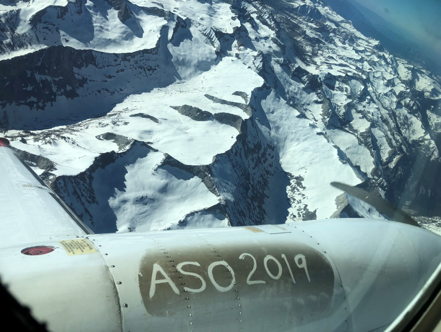
ASO flies over the San Joaquin basin on 9 June, 2019.
05/15/2019
ASO completed snow survey flights of the Kaweah River Basin on 12-13 May. Last week, the ASO team delivered Level 4 snow products for the San Joaquin River Basin surveys conducted 1-4 May; the Tuolumne River Basin surveys conducted 3-4 May; and the Lakes Basin on 1 May.
04/24/2019
ASO completed mid-April snow surveys of the Tuolumne, Kings, Merced, and Kaweah river basins 17-21 April. Snow depth and snow water equivalent Level 4 data products were delivered to end users on 20 April. These surveys were performed in partnership with the California Department of Water Resources.
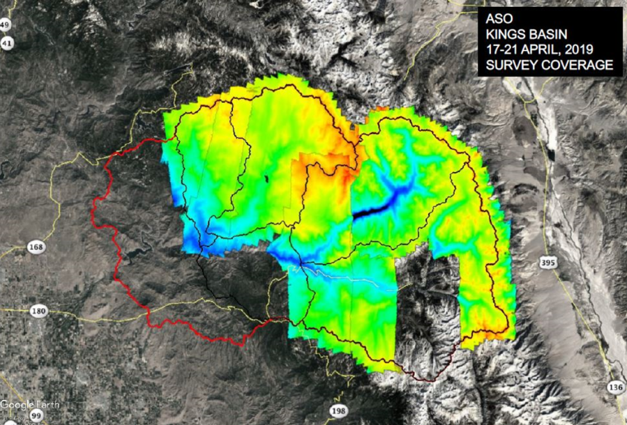
Map of ASO lidar coverage of the Kings River basins during 17-21 April.
04/17/2019
After successfully completing the second leg of the OMG GLISTIN-A Greenland campaigns, the team left Greenland for Grand Forks, ND on Tuesday, 16 April and mapped the Red River floodplain again for researchers at University of New Hampshire to improve their flood prediction model.
04/17/2019
The 2019 GLISTIN Campaign over Greenland has been successfully completed on the JSC Gulfstream III aircraft. All glacier targets were successfully collected in Greenland. We conducted three science flights out of Thule, Greenland covering the coastal glaciers in northern Greenland and western Greenland south of Thule.
04/05/2019
ASO completed a snow survey of the Merced River basin on 29 March. This work is performed in partnership with the California Department of Water Resources.
03/20/2019
The 2019 GLISTIN RADAR Campaign was flying from Keflavik Iceland all of last week, and successfully completed all of the flight lines in Southern and Eastern Greenland. The aircraft transited to Thule Air Force Base in Greenland on Monday, 20 March for flight in Northern Greenland.